New Crater Pool Formed - KIBCA Exclusive
See Media Release: Walkers Discover New Pool Caused by Landslide on Kolombangara and detailed GIS Map
Wondered why the water in the Vila River that supplies Ringgi is regularly chocolate colored?
The answer was confirmed when KIBCA Technical Officer, Andrew Cox, visited the Kolombangara Crater with several other trekkers from KFPL.
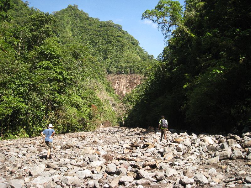
To their surprise, the party found a large new rubble field blocking the Vila River for over 800m. It was formed in June after a small earthquake caused a landslide on the side of Mt Rano. The debris washed through a narrow side gorge before covering the Vila River.
Every time it rains heavily in the crater, the loose rubble field is washed further down the Vila River.

Looking up Vila River at debris field coming from creek on left.
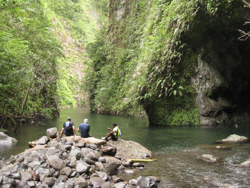
The rubble also blocks the Vila River as it leaves the crater through the main gorge. This new 400m long pool now means that a long swim through the 4m deep pool is necessary to reach the centre of the crater.

Side creek (far right) brings silt from Mt Rano landslide and blocks Vila River. Lower end of new 400m pool in foreground.
Earlier in the year this section of river was free-flowing. If you want to see the new pool, you had better be quick! We expect summer rains to remove the blockage in the coming months.

The upper end of the new 400m pool on the Vila River blocking the entrance to Kolombangara Crater. It is now only possible to reach inside the crater by swimming the length of the deep pool.
See detailed GIS map of landslide.
See more photos below:
|
Walking up the 800m long sediment plume on the Vila River at the start of the day. |
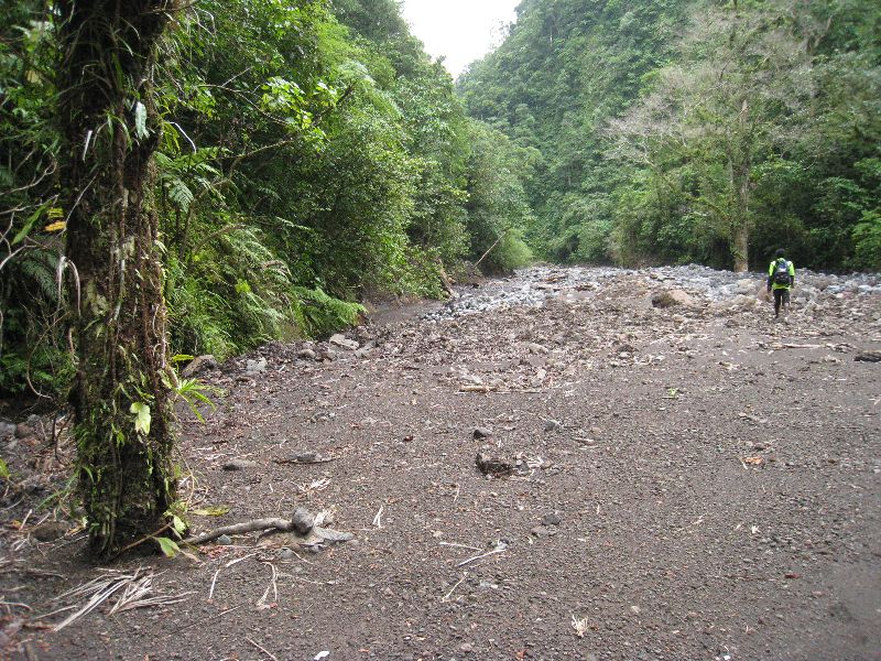
Walking down the 800m long sediment plume on the Vila River at the end of the day. |
|
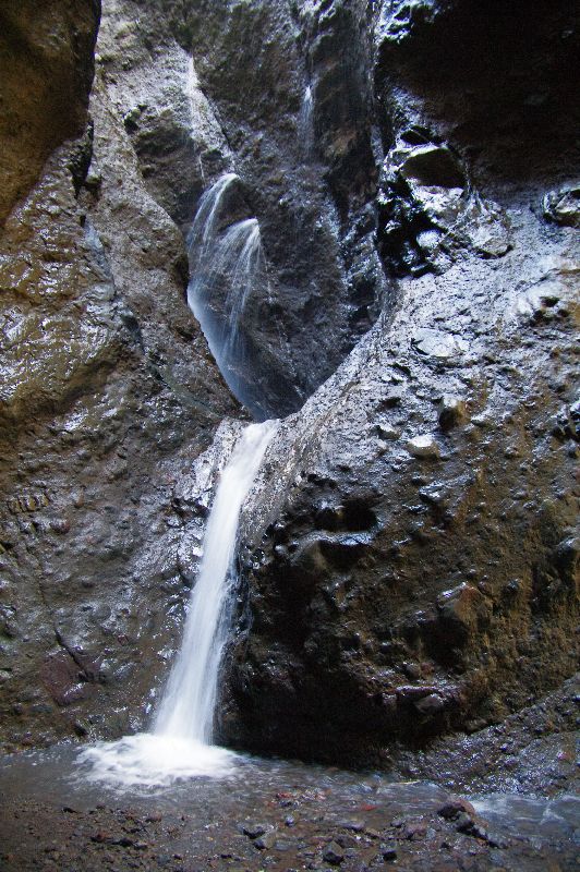
Water still gushes from the narrow gully below the Mt Rano landslide before reaching the Vila River. |
Mt Rano and 2010 landslide seen from crater rim near Mt Tepalemenggutu. The 26 June earthquake caused the north-east face of Mt Rano to colllapse in a landslide and wash the debris into the Vila River after passing through the small gully on the bottom left. |
All photos: Andrew Cox


